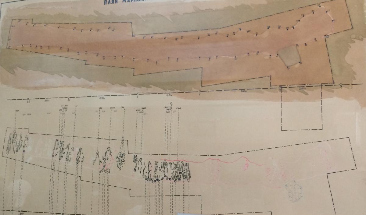
I am working at my laptop, and organizing all the city maps I found until now, through contacts, museums and internet. The oldest map is displaced in the Historical Museum in Mariupol. A cemetery plan that must date 3000 Before Christ. During this ancient period in time there seems to have been a settlement. Back then it was a strategic location as well, right at the see, with fruitful ground, and a stop between east and west.
According to the guide of the museum we don’t know much about this era. The excavations are a showpiece of the museum. They were found in 1931 when the first major factories were built here. In three weeks time the researchers had to do their work, because that was the maximum amount of time the building could be postponed. Since then there has been no further investigations. Neither on the factory surroundings, nor outside of it. An uncultivated space for archaeologists.
